


| Kitt Peak on a bike (Mar 19, 2008) |
|---|


It took about 40 oz of Gatorade, half-a-packet of trail mix, 4 samosas (Indian snack), a banana and an apple worth of
calories to survive the 24-mile round trip bike ride to Kitt Peak. In fact, I did quite a bit of walking my bike
rather than riding it uphill. Given that I am just an amateur biker, overcoming the unrelenting 7% grade all the way
up was a bit too much for me. Nevertheless, it was a lot of fun! I left home around 8:40 in the morning with a rented
bike in the back of my car to start biking from the point that serves as the threshold for the slopes of Kitt Peak
(Intersection of Highway 86 and Route 386). Since I had not worked out for a couple of days (got lazy during the
spring break!), it took me a while to get warmed up. The warm up period was probably the most tough mentally -- I
thought I would eventually have to give up at some point. But I kept on until I crossed mile post 2, which instilled
some (false) hope into me that the rest of the path is only 6 times what I have been able to cover. All the way I was
wishing for at least a mile that was flat enough for an effortless pedaling session even though it was foolish to do
so from what I had heard before. Every mile post that happened to pass by filled in a sense of pride and at the same
time pulled some energy out of me. I have to admit that I gave up at a number of points to walk rather than ride my
bike. I gave my best try for the last couple of miles when finally my fitness gave up on me as I happened to be on the
verge of picking up a cramp in my thighs. So I walked the last 500 feet or so to reach the National Optical
Astronomy Observatory (NOAO) at the summit of the peak. Although I was not there with any intensions of sky gazing, I
did check out a couple of interesting telescopes from far away, especially the WIYN telescope whose body is octagonal
(picture above) in shape as against the often used dome shape. This is supposed to mitigate the effects of
varying temperature in the air between its primary and secondary mirrors (I do not get this fully!). After the
highly deserved lunch (items listed in the beginning), I embarked on my descent down the peak. The way down was
obviously a piece of cake compared to the way up with the only effort going into pulling the brake levers and
watching the Arizona sky play marvelous games with colors. The thrill of coming down the slope at a great speed
is unmatchable. I got down in less than one-third the time it took me to get upstairs (I am a bit embarassed to
give you the actual numbers!). All in all a memorable trip with lots of learning experience!


| Biosphere 2 (Apr 19, 2008) |
|---|
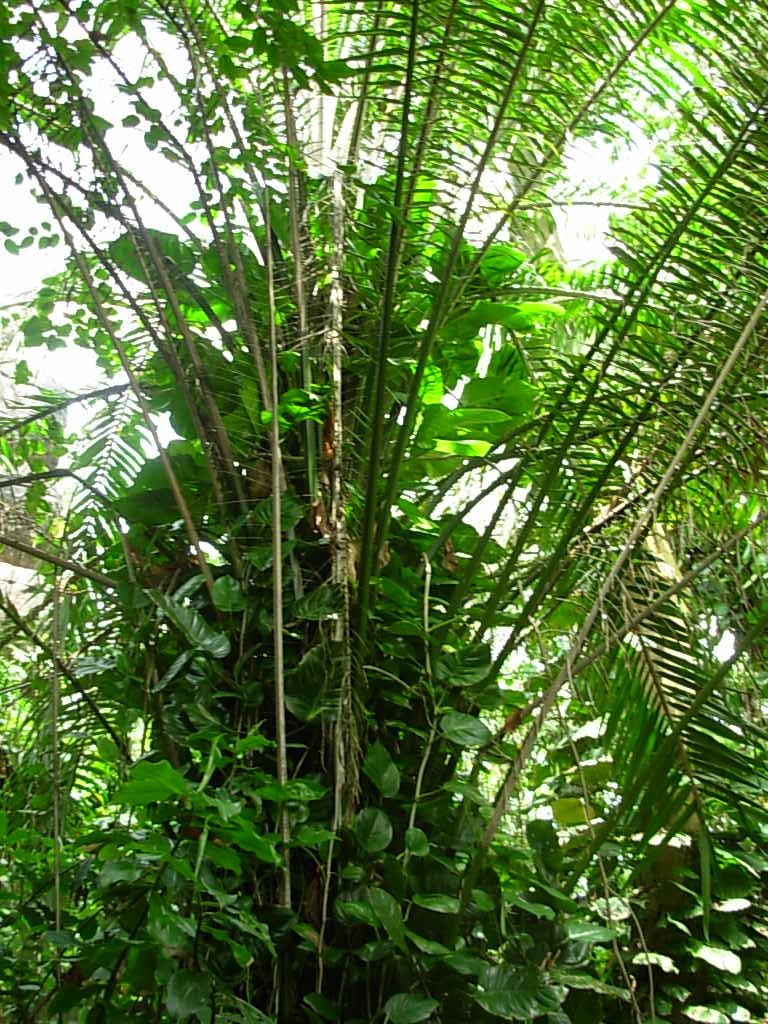


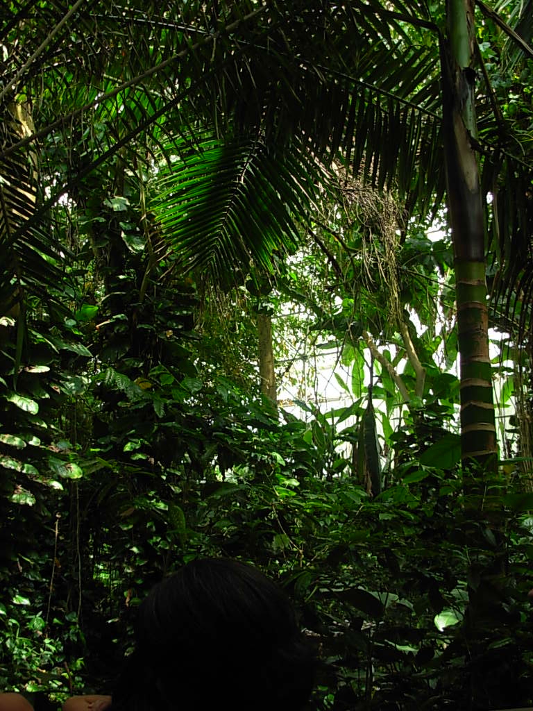
It is a fact that Southern Arizona is one of the best places on earth for astronomy enthusiasts. The clear skies and the absence of light in the surrounding desert have led to the establishment of a number of telescopes and observatories in and around Tucson. The Large Binocular Telescope on Mt. Graham, the National Optical Astronomy Observatory on Kitt Peak, the Steward Observatory at the University of Arizona and many others scattered across the landscape of Southern Arizona have been capturing some of the best pictures of the sky at the highest possible resolution. This has helped researchers extend the horizon of human knowledge regarding the outer space. The University of Arizona is well-known for its contribution towards this end through its endeavors from building mirrors for the telescopes to analyzing and interpreting the data collected from them. The university's programs in optical sciences and space exploration probably have some of the best minds at work. A testimonial to this is the fact that it has been chosen to be the first public university to lead a mission to Mars in a joint effort with NASA and JPL.
Perhaps less known is the fact that Southern Arizona is home to a number of research efforts in the
biological sciences. Apart from the institutions carrying out most of their work within labs, there is one
place in Tucson (about 24 miles north) that is a monument to the efforts of biological and earth
sciencers, called the Biosphere 2 . I had the opportunity to visit
it today. My original intention was to attend a talk by Peter H. Smith, principal investigator of the
Phoenix Mars Mission. After the talk, I happened to take a tour of the place and was fortunate to have a
person who has been with the facility since its inception 17 years ago, as the tour guide. Biosphere 2 is
a sealed (from the Earth) facility that houses five of the Earth's biomes in their natural environments
created by engineered systems. These biomes include the savannahs, tropical rainforests, desert, ocean and
a human habitat. It seems that in the earlier days a few humans lived in isolation within the facility,
where they sulf-sustained themselves through agriculture on designated farm lands. Now the facility is
being used to conduct experiments on various aspects of the biomes. For instance, one of the experiments
is to test the limit of Carbon-di-oxide (CO2) absorption by plants in the tropical rainforests to help
figure out when they would give up being the swallowers of excess CO2 produced by human activities. An
interesting fact I ended up learning is that every 3 out of 4 life forms on earth prefers a tropical
rainforest leading to an abundance of life forms in these regions. It was also interesting to see the
attempt at recreating a million gallon ocean biome within a small area and the engineering and mechanical
systems that form the backbone of the facility. Notably the two huge lungs that prevent the isolated
system from exploding or imploding are worth a visit. If you are in Arizona and looking to experience a
rainforest without flying too far, I suggest a trip to this place -- it might be worth it, you never know!


| Phoenix Mars landing (May 25, 2008) |
|---|
I was fortunate being on campus to experience a great feat in the history of space exploration. The Phoenix lander finally touched the Martian surface on May 25, 2008 at 16:53 MST. Having attended a lecture a few weeks ago by Peter Smith, the principal investigator, on the details of the mission, I was one among the many to have kept their fingers crossed and hoped for the success of this mission. And to be in the midst of some of the people whose efforts went into making it a success, when it became a success, is quite an experience. Although the media is full of descriptions about the landing and the first pictures of Martian landscape taken by Phoenix, I could not help but put down a few words of my own about the whole experience. It is hard to express everything about the thrill and excitement involved in witnessing a countdown for the landing of a spacecraft on a different planet but worth a try. I went to the Sonett space sciences building around 15:30 with a plan to take a look at some of the images put up for exhbition, that were captured by the HiRISE camera aboard the Mars Reconnaissance Orbiter (MRO). While I was in the midst of trying to make sense of the descriptions that accompanied the images, a couple of TV screens began covering the NASA TV's live telecast of the countdown from the Jet Propulsion Labs (JPL), Pasadena, California's mission control room. I was expecting to see one familiar face, that of Peter Smith, and there he was passing peanuts to fellow scientists and engineers in keeping with the JPL countdown tradition. Although the face looked serene the violence within was perhaps unimaginable. Seemingly it was his proposition to rejuvenate a previously abandoned Mars mission (Mars Surveyor 2001) by identifying faults in the earlier unsuccessful missions, particularly the Mars Polar Lander in 1999, and fixing them. Hence the name of the mission: "Phoenix"--a mythical bird that rises from the ashes.
The most critical of the almost 10 month journey of Phoenix, covering 422
million miles, were the last seven minutes when it traveled through Martian atmosphere before
finally coming to a halt on the surface. During these seven minutes it
would deploy its heat shield to keep from burning due to friction caused
by free fall, then slow down with the help of drag created by opening up
the parachute. And then finally get rid of both the parachute and the heat
shield while coming down to a halt with the help of its rocket thrusters.
The last success in this kind of landing with thrusters was seen in 1976
with the Viking probes. There was a lot of anxiety in the air around me
during these seven minutes with all the people's eyes glued to the TV
screen, hoping for the best. Hope glimmered all along with the announcements
from the Entry, Descent and Landing (EDL) communications that the heat shield
deployment was successful, that the craft did not lose communication at the point
of its maximum heating during which it was expected to be out of reach, that
the parachute deployment was successful, that the radar for the thrusters
was ground-locked, and finally that the distance to surface started
decreasing until touchdown. So there it was finally on the surface of Mars
bringing cheers to all of us in the room and much more to the ones in the
mission control room and elsewhere. Many of the scientists involved
expressed that this was more than they had hoped for and that the reality
was better than any of their previous landing simulations. It was good to
see smiles on the faces of people who struggled for years to leave no
stone unturned to see this mission happen. In the coming days there will
be a flood of images and findings by Phoenix about the Martian Arctic
plains and its subsurface, helping understand if there ever existed water
there and hence conditions favorable for life. Perhaps Phoenix also leaves
behind a message that it is more than possible to learn from previous errors!


| Biking the unseen (June 29, 2008) |
|---|


Living in Tucson for so many years I have been to Mt. Lemmon several times--sometimes with friends and other times on my own. But I seem to enjoy it each time. In many ways similar to enjoying reading a book more than once, each time evoking a complementing set of thoughts. There were three purposes for the visit this time. First, to escape from the hundred-plus degrees temperature of the Tucson valley for a day. Second, to get back to biking after a long time. And third, to explore a couple of places that I realized should have been explored much before. Although I could have achieved the third purpose in a number of other ways, there is a different kind of fun experiencing previously unseen places first-hand. The first of the unseen places was the "Old Mt. Lemmon Highway" or the "Control Road". Evidently this was the first route that made access to higher reaches of Mt. Lemmon possible and it climbs the mountain from the north side as opposed to the newer Catalina highway that climbs from the south. The other mystery was what lurked beyond the restaurants and businesses in Summerhaven along the road approaching it from the usual highway. Although me and many of my friends had been to Summerhaven so many times we never cared to take that extra step beyond the restaurants--perhaps the good food captivated us each time! On a sunny sunday, I hopped into my car early in the morning with a bike in the back and headed up towards Catalina highway. BTW, the back of my car is not really suited for carrying a bike and its seat corners are now stained black due to the repeated rubbing of the bicycle chain, but who cares! My plan was to abandon the car somewhere near Palisades and bike up until Summerhaven, which is about 5 miles from there. I did not want a long ride to reach Summerhaven itself as I did last time--biked from Windy Point, which amounts to about 11 miles one way. This is because I was not sure how much more would be involved in uncovering the two unseen places. However, for various reasons I ended up leaving the car near the San Pedro vista point making the trip longer by a mile each way.
Biking the top of Mt. Lemmon is much different from Kitt Peak (see description
above) because it does not involve a slope in one direction all along. For a guy
like me it is a big plus because I can keep pushing myself not to get down and
walk, in the hope of finding a downward slope eventually. And I think I did it
pretty well this time--I was on my bike for almost all of the ride! The first
stop was the intersection of the control road with the Catalina highway, which
occurs before Summerhaven. Upon reaching the start of the control road, I saw
that it was a dirt road and a warning sign mentioned that it is meant to be
driven only on 4x4s or all-wheel drives (see picture above). I ventured into it
dragging along my 2x1 for about half-a-mile. The dirt road went down quite fast
(steep) and there was no chance I could ride a road bike comfortably on that
road. So I decided that I had my share of discovery of this place for the day
and headed back up. Back on to the intersection, I rode all the way down to
Summerhaven in the hope of unravelling the second mystery. To my surprise the
road beyond the restaurants went only for about half-a-mile before coming to a dead
end at Marshall Gulch. But that half-a-mile road was lined all along with a
fresh water stream and the sound and sight of it was enough to make my day. I
spent some time beside the stream having lunch and headed back. The ride back
was a bit strenuous but enjoyable due to the cool breeze all along. After
reaching my car I started driving back down the mountain. To make the day more
eventful, rain was awaiting to pour into parts of Tucson and it began to do so
towards the final stages of my descent. I stopped on the way down to take a
couple of pictures of water pouring down from afar (see above). As I drove close
to my apartment, there was not a drop of water that had fallen down in that
area, but then that's Tucson at its best!


| Sunset at Gates Pass (Aug 17, 2008) |
|---|


Ever since my first visit to the desert museum a couple of weeks back (I know I should have done this much before!), a desire to ride the Gates Pass road had been haunting me. I did this eventually on a fine Sunday evening. It might sound a bit crazy to get out into the open before 6 or so in the evening, due to the soaring temperatures here until the fall season practically begins. But we are fortunate to have a summer monsoon season bringing clouds that sporadically hide away the sun. And I hoped for one such event when I decided to start this ride around 4:30 in the evening heading towards the Tucson mountains (yes, this is their official name!). The motivation for an evening ride rather than the more comfortable early morning one came from the magnificent sunsets that are visible from the highest point of the Gates Pass. Technically, a pass is a road connecting two valleys separated by a mountain range along a path of least elevation. For the mathematical nerds out there, it might help to think of a pass as crossing a "saddle point", the intersection of the road between two mountain peaks and the road between two valleys on the opposite sides of a peak. So Gates pass connects the eastern Tucson valley (bottom right photo) to a valley on the west of Tucson mountains (bottom left photo).
I had written about the sun playing games with the Arizona sky before, it is here that the games probably get to their best. From certain vantage points there are no high mountains visible for a long distance towards the west and only a virid valey full of cacti and desert vegetation fills the eye. This provides a perfect contrast for the scattered colors of the setting sun rendering the spectacle even more beautiful. I parked my car into a pullout just before the entrance of the Tucson Mountain Park and started riding towards the vista point at the top of Gates Pass--the saddle point. Although the ride is mostly uphill, it did not seem strenuous at all this time. Thanks to the practice rides I have been doing at the recreation center these days of upto 15 miles at a stretch. They have trained me to better tackle the world outside. I reached the top pretty soon and it was not time for the sunset yet. So I continued descending down to the other side (west) of the ridge. This is a very steep descent until hitting the relatively flatter road at the bottom (bottom left photo), which makes you gain a lot of speed. Even the flat road is a fun ride with lots of significant ups and downs all along. I did not even realize I reached the end of Gates Pass at its intersection with Kinney Road.
Kinney Road leads to the desert museum to the north and the Old Tucson studios
to the south. I decided to take the unexplored southern direction for a few
miles down towards the Old Tucson studios. The ride along this road was a memorable
one given that the weather was perfect with clouds hovering above me and
absolutely no traffic on the road. I clicked a few pictures of the surrounding
desert and the studios before heading back up north and then east. It seemed to
be getting closer to sunset and I wanted to be at the summit to watch it. Now it
was time for me to pay back for the thrill that the steep descent gave me on my
way down. It was a punishing climb and although I tried hard, even stopping a
couple of times in between, I had to give up and walk for a few hundreed feet
just before the road levels off and starts to descend on the east side. On my
walk though, I was able to take a few pictures with the rain pouring down on
some of the distant landscapes (top-left-middle photo). In fact it were these clouds that beguiled me
into believing that it was close to sunset when it was still not. So I decided
to descend on the east side and come back driving up in my car to avoid riding
back in the dark. The descent was fast and enjoyable, especially with the town visible
from far away for some part of it. I got back to my car , put the bike in and
drove back to watch the sunset. I had to spend some time at a vista point just
at the base of the ridge before the sun began to set and play its games. The
games were one of the best I have ever seen and wanted to share some of the
captured moments there with you here!


| Is it really "foot"ball? (Dec 14, 2008) |
|---|


I am getting back to updating this page after a long hiatus. Not that I haven't been doing anything fun all this while, only that I have probably been a bit too involved with other things or maybe just too lazy to write. Thanks to my labmate (Joe) who invited me to watch a NFL game live in a stadium this weekend. The whole experience brings me back into the mode of sharing it here, especially with those who have developed interest in following this game, come every Sunday. I am hoping that even others might find this interesting, the ones curious to know a couple of facts about the game. I must admit that in recent times following the NFL has been the secret of my weekend survival. So it fits well that I make an account of my first experience watching it happen right in front of my eyes outside the confines of a TV screen. Let me first try to put down a few facts about the game itself and then go on blabbering about my experience. The term "American football" is puzzling to many as it was to me when I first got introduced to it. It is because the game is called "foot ball" when there is so little use of the "foot". But it descends from the legacy of rugby from which American football came into existence, around late 1800s. Although the rules have been modified over time, the name seems to have persisted all along. And NFL is short for the "National Football League", which is the primary league of football teams in the US. For those interested in more details about the history and how it is played, there is a good wikipedia page on it.
The game I happened to watch at the University of Phoenix stadium in Glendale,
AZ, was played between the Arizona Cardinals and the Minnesota Vikings.
Although I am not an avid fan of either of these teams, there were two primary
motivations for me to have been to this game. One is of course experiencing it
in the stadium and the other is the stadium itself. The Glendale stadium is
relatively new and was home to the Super Bowl last year. Super Bowl is the
grand finale of the NFL and perhaps the most celebrated event in American
sports. Inspite of the fact that we could afford only the least expensive seats in the
stadium, the whole experience was worth more than it. Various architectural
feats including the stadium's exterior design in the form of a barrel cactus,
retractable roof and playing field make it an attraction in itself. The game
perhaps cannot be called one of the most interesting (at least to me) given
that the Vikings dominated the Cardinals from the beginning and had a
relatively easy 35-14 win. But the fun in cheering alongside tens of thousands
of fans is entirely different. To me it was a bit surprising that the game had
attendance from an almost equal proportion of fans from both the competing
sides. I had expected the balance tilt more towards Cardinals fans but maybe
this is how it works in NFL games. Well, I can go on and on about many more
things but it is better to stop here and let you enjoy some of the pictures above. Have fun!
Update (02/10/09): To the surprise of many, the Arizona Cardinals made it to the Super Bowl this season.
Although they did not win, they gave a memorable performance.


| Sailing Arizona skies (Aug 9, 2009) |
|---|


This was probably the last thing I ever expected to do. So it is definitely worth making a note of it here. While playing usual tennis one fine Saturday morning, I casually asked my partner, Andy, whether he still flew planes. I remembered he had mentioned this to me sometime before. To my surprise, he asked whether I would be willing to join him fly a plane the next day. With little knowledge of what I was getting into, I said YES!. Most of us have this dream to fly a plane one day but maybe it is not so easy to do due to the effort and cost involved. But thanks to Andy, he made it possible in my case with both little effort and cost. On Sunday morning we drove to the small glidestrip that the Tucson Soaring Club maintains near the town of Marana. I had no idea that such a thing existed. In fact, I assumed that we would be flying a sophisticated, motorized plane with well equipped controls to drive the plane. After getting to the glidestrip, it did not take me long to realize I was in for a different kind of experience: flying a glider, which is a motorless plane with some control in our hands and the rest left to the whims of air flow at relatively higher reaches of the atmosphere.
Before the flight began, Andy gave me the option of not wearing a parachute. He seems to do it this way all the time these days. It is probably his confidence of having done this too many times or maybe he has hidden wings. But at a disadvantage in both these respects, I chose to rather wear it. Putting a parachute on was also a first for me although I (fortunately) did not have to put it into real use. So the experience began with me being put in to the front seat of a PW-6 two-seat glider and Andy taking the seat behind me. I was a bit uncomfortable with this initially but the fact that all the controls available to me were also available to Andy came as a respite. Our glider was tow lifted by another motorized plane and the two remained hooked until we attained an altitude of a few hundred feet, when we were left alone to explore the Arizona skies. I was already warned about the possibility of throwing up due to motion sickness. But I had made up my mind to get through without doing so. There was a bit of discomfort initially with the sudden rises and falls at lower altitudes. But as we gained height, the ride got much more benign, where Andy gave me the control of the plane for sometime. At an altitude of about ten thousand feet, I tried simple things like keeping the airspeed of the plane between 50 and 60 knots and trying to make small turns with the help of the rudder and the stick. It seemed quite an irony that the plane was so controllable with so few and simple controls.
Gliding is merely falling down giving in to earth's gravity but the speed of the
plane and its wing structure give it a lift while doing so (Bernoulli's
principle) making possible a more smooth and an enjoyable fall. This is further
aided by atmospheric phenomena such as "thermals" (rising columns of hot air),
which Andy kept mentioning all the time but I never understood until after the
flight. There seem to be quite a number of other technicalities associated with
gliders (glide ratio, airspeed, pressure sensors, etc), which are better left to
Wikipedia pages for now. We sailed for about an hour watching over the landscape
I live in from above, marked with an aqueduct, green patches of vegetation here
and there, mountain ranges, a copper mine and of course our landing strip. It was
a smooth landing in the end leaving me with one more interest begging to be
pursued at some point and an experience to cherish for a long time to come.
Update(12/12/09): I did a second flight today with Andy, but this time on a Grob G 103. No parachute
and no radio on the plane--Andy did not seem so happy with the latter! The ride was way
smooth this time due to atmosphere being very quiet (no winds or thermals). It was
like sitting in a jumbo jet and trying some aerial photography, maybe I could have
taken a newspaper or laptop for a change ;).